Date:
Marine scientists often refer to the ocean as the final frontier of exploration here on Earth. While the global ocean covers 70% of the Earth’s surface, we have little more than 10% of the seafloor mapped. This means that we have better maps of the moon than we do the ocean floor!
Ocean exploration at its purest aims to gain understanding of the unknown and shed light on the undiscovered beauty and power of our planet. Through working to understand the oceans, we also work to understand our place in the history of life on Earth.
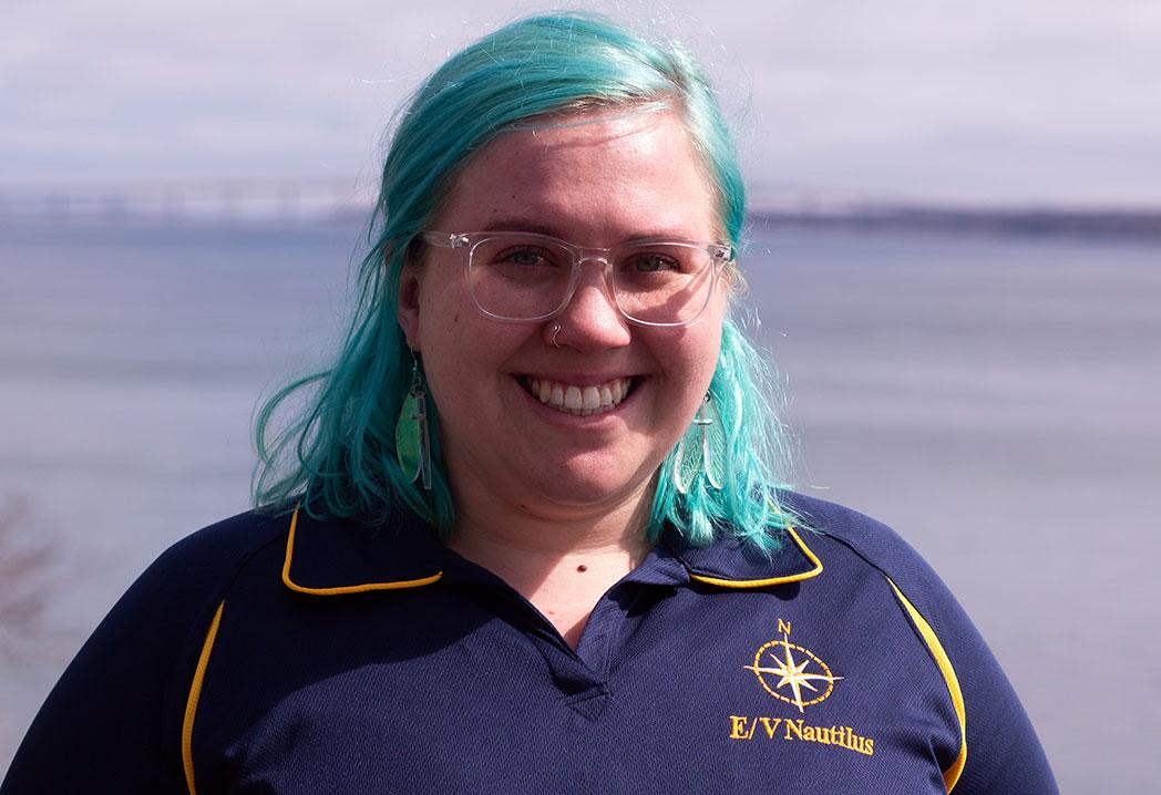
In my role as a Science Interpreter here at The Franklin Institute, I aim to bring science to public audiences in the most accessible way possible. As a Science Communication Fellow with the Ocean Exploration Trust and E/V Nautilus, I will be able to bring the Franklin Institute’s mission with me to the middle of the Pacific Ocean.
From September 12th until October 3rd, I will be joining the crew of the exploration vessel Nautilus as we embark on an expedition to explore enigmatic seamounts near Hawaii in the Papahanaumokuakea Marine National Monument.
Using underwater robotics, cameras are sent down to the seafloor (as deep as 4500 meters/14000 feet below the surface) to explore areas of biological, chemical, and geological interest. During this time, those camera feeds are broadcast live to the NautilusLive.org website. If you tune in, you will hear me helping to facilitate conversations between scientists, engineers, other crew and the worldwide audience through a question feed available on the website. Additionally, you can join us at The Franklin Institute for live Q&A sessions with myself and the knowledgeable experts that make up the Nautilus Corps of Exploration.
Stay tuned to this blog for my dispatches directly from E/V Nautilus and the Papahanaumokuakea Marine National Monument. Let’s explore!
Follow the E/V Nautilus on Twitter and Instagram: Twitter - @EVNautilus / Instagram - @nautiluslive

